The digitization of cadastral maps is threatened by government cuts
 |
"In 2012, digitization is still planned to cover more than eight percent of the territory, but if spending cuts occur as anticipated in the budget outlook for 2013 and 2014, it will be necessary to significantly limit the digitization of cadastral maps and practically halt it in 2014, with all the negative consequences of such a step," the head of ČÚZK stated.
The state budget this year allocates 2.8 billion crowns for cadastral offices. In 2011, they had approximately three billion crowns available for expenditures, and the year before that, it was 3.4 billion crowns.
Last year, cadastral offices transferred 1,094 cadastral territories into digital form, which represented a year-on-year increase of 8.5 percent to a total of 7,941 cadastral territories.
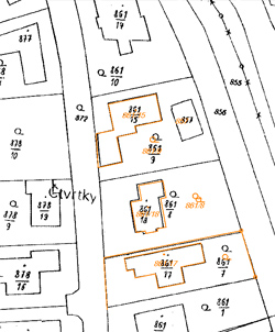
Thus, at the end of last year, 61 percent of the cadastral territories of the Czech Republic were in digital form. The rest of the Czech Republic is still covered only by scanned cadastral maps, which, compared to digital maps, do not allow for the display of the current state of the cadastre on the Internet.
According to ČÚZK, digital maps are significant for the effective functioning of public administration and the private sector. They serve as a basis, for example, in the creation of further maps, information systems, and applications related to the territory, such as digital technical maps, land use plans, price maps, monitoring and development of technical and transport infrastructure, or the environment, as stated in the office's annual report.
The English translation is powered by AI tool. Switch to Czech to view the original text source.

1 comment
add comment
Subject
Author
Date
skoro dobře
andyw
07.06.12 08:28
show all comments
Related articles
0
11.03.2025 | The digitized Portal of the Cadastre and Surveying will also verify the data of owners
0
03.06.2021 | Anonymous access to the cadastre will still be possible; the test is intended to limit speculation
0
22.02.2012 | People can now electronically access 60% of cadastral maps
0
12.06.2011 | In digital form, half of the Czech cadastres are already available
0
25.11.2010 | The digitization of cadastral maps will be delayed due to cuts