
Ostrava accessibility map helps the disabled navigate the city
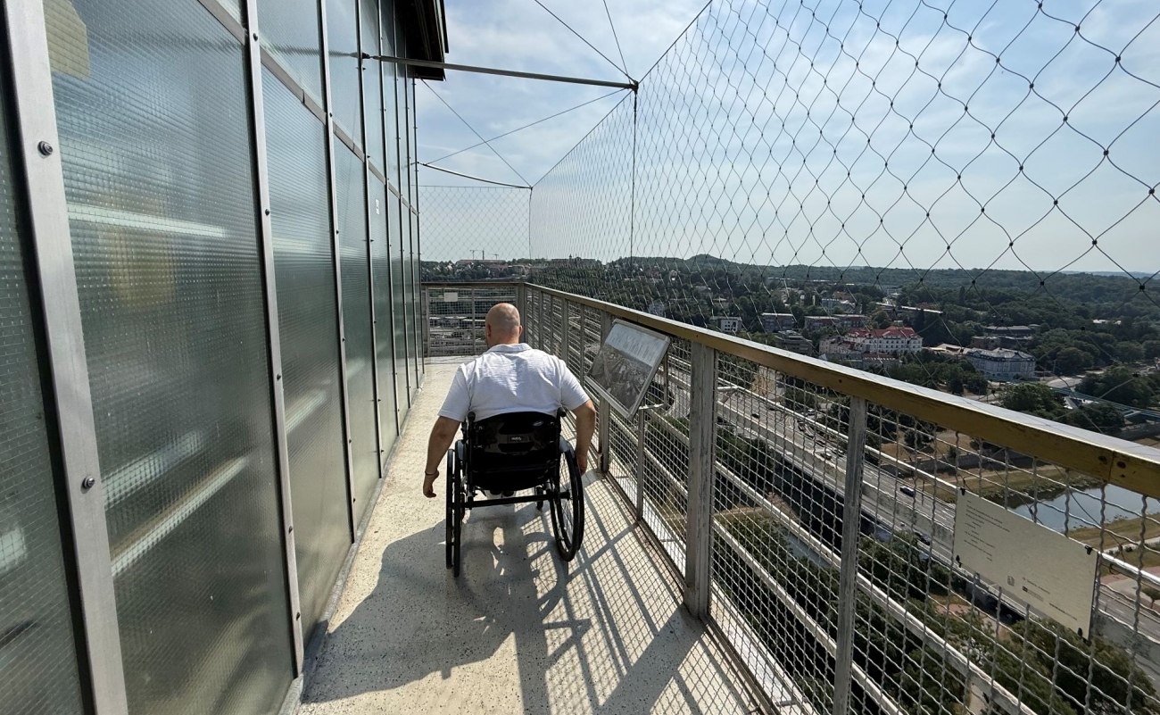 |
People with disabilities using wheelchairs, individuals with decreased mobility, seniors, as well as parents with strollers can navigate more easily in Ostrava, thanks to the necessary information provided by an interactive map application called the Accessibility Map of the City of Ostrava, published on the Bez bariér Ostravsko website. The objects on the map are color-coded according to their level of accessibility, from accessible facilities marked in green to difficultly accessible or inaccessible locations marked in red. "Wheelchair users" do not embark on their journey in vain if they gather information beforehand, such as through the application.
"Nearly 1,000 facilities in the areas of healthcare, public administration, services, as well as culture and gastronomy have already been published on the interactive map. Also mapped and published were 1,000 stops for bus, trolleybus, and tram transport in the city. However, the map needs to be gradually updated, as new restaurants, cafes, shops, centers, or educational institutions have been added, making it necessary to update around a hundred previously mapped places," explains councilor Markéta Langrová, adding: "New short-term respite services for individuals with reduced independence due to age, chronic illness, or disability, who otherwise receive care in their home environment, are being added." The Department of Urban Planning and Building Regulations of the Ostrava City Hall initiated mapping of buildings intended for public use in terms of their accessibility back in 2016.
Interested parties can find the necessary information on the interactive accessibility map of the city of Ostrava at the link https://mapy.ostrava.cz/mapa-pristupnosti/mapa/ and on the Bez bariér Ostravsko website at https://www.ostrava-bezbarier.cz/. Before starting their journey, people can find the essential information needed to determine whether their destination is accessible or if assistance will be necessary or if it is completely inaccessible. The desired information is gathered on the ground by individuals with disabilities using wheelchairs, who assess the locations from perspectives not noticed by healthy individuals in everyday life. In Ostrava, a specialist for architectural barriers from the Department of Urban Planning and Building Regulations of the city hall, who is a wheelchair user, collaborates with representatives of the Ostrava Wheelchair Users Organization.
On the map, interested parties can find a range of assessed aspects of individual objects. In addition to basic information, the address of the relevant location is examined alongside detailed facts such as whether there is a ramp for overcoming elevation changes at the entrance and inside the facility, elevators, door widths (minimum 80 cm), threshold heights, surface specifications, and slope of pathways, accessibility of parking or toilets. In addition to the previously mentioned color coding from green (accessible) to red (difficultly accessible to inaccessible), objects on the map are provided with more detailed pictograms - difficult surface (generally unmaintained historical pavement), slope, barrier-free entrances at the main and side entrances, stairs (number specified in supplementary text), elevator, platform, ramp or guide rail, narrow doors, reserved parking space, accessible, inaccessible toilet.
The accessibility map can also be utilized by visitors of the Colours of Ostrava festival, who will navigate not only within the event area but also into the city. Information about its existence is mentioned on the Colours without Barriers festival website. According to a unified methodology for categorizing accessibility of objects, places have also been mapped in other cities such as Prague, Brno, Olomouc, Opava, České Budějovice, and Pardubice in a similar manner.
The English translation is powered by AI tool. Switch to Czech to view the original text source.
0 comments
add comment