

Adam Kössler (1st year master's) - From the pit
atelier Ing.arch. Radka Suchánka, PhD., Ing.arch.Dott.Petra Janoše and Ing.arch. Vladimír Baldy
<title>Translated Document</title> Ještěd in the Cage 11 - Awarding Students
 |
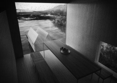
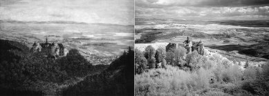
In solving my project, I chose a different approach. To preserve the authenticity and energy that this landscape possesses, I am leaving it to natural succession. I approach it as a clearly defined entity with a raw character, like an industrial footprint. I anticipate the natural gradual flooding of the entire mine, resulting in an extensive water surface.
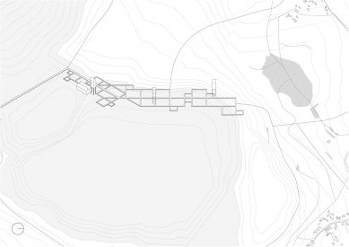
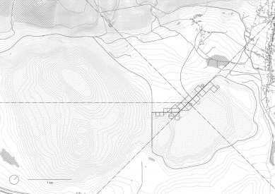
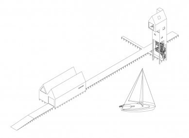
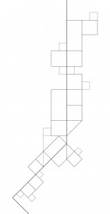
I situate my project at the interface of the future lake and the villages of Černice and Horní Jiřetín. Here, I propose a nature reserve, while trying to accentuate the subtle elements of the landscape that it has gradually lost. I particularly mean restoring natural structures such as wetlands, reed beds, and especially the natural nesting sites of water birds that were typical for this area. These structures are enclosed and have a supporting platform created by an orthogonal grid of wooden walkways. The grid is defined by three main axes, which connect existing and extinct villages. It is designed as a "growing" structure, so it can expand and thus adapt to nature and new needs.
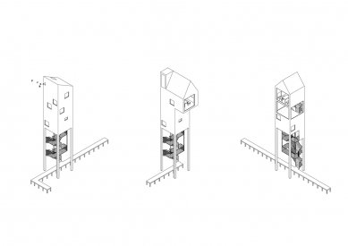
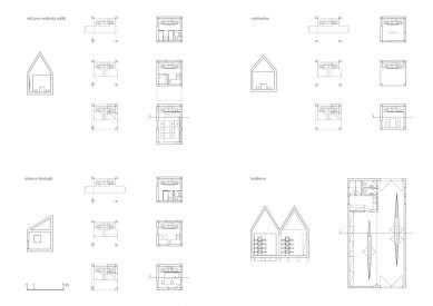
Along the main axis, I place three towers for different uses, which define the scale of any later interventions. The objects have a direct relationship with the development of the given locality. The first tower with an adjacent boat house is intended for a canoeing club, the second tower serves scientific purposes as a biologists' station, and the third tower can be used by tourists as an observation tower and a shelter.
Through this vision, I did not want to create replicas of what has vanished, but rather to evoke the original nature and character of the landscape.
The English translation is powered by AI tool. Switch to Czech to view the original text source.

0 comments
add comment